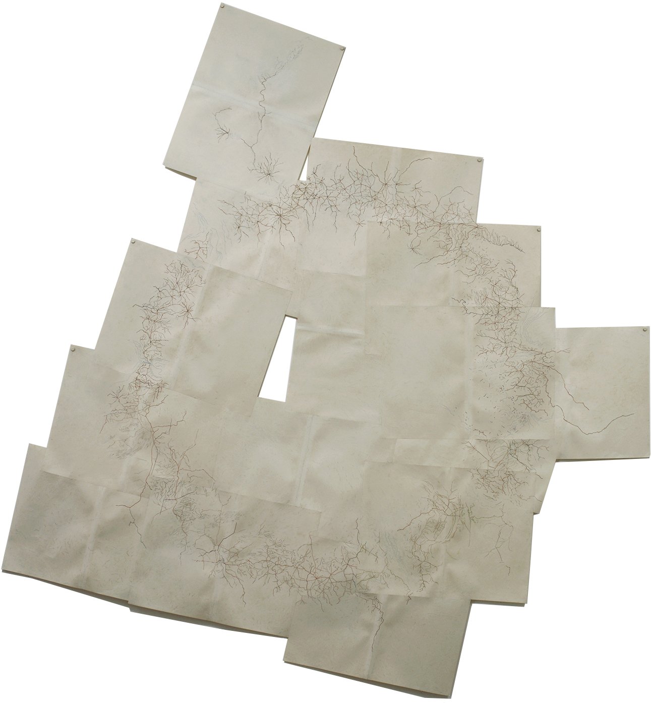
The act of rendering can be understood as both additive and reductive. It can refer to a version of something. It might imply a transformation. Working with coloured maps salvaged from post-war Times of London atlases, Merritt deliberates the notion that each of these conditions can be coincident, as his “drawing” is coaxed through an intensive process of erasure, where what remains is what is produced. Fragments of roadways, watersheds and national borders articulated in the large-scale work, key to adjoining areas — predominantly represented in blue and red branching lines — now isolated from the attendant features of the original atlas pages, emerge as a fragile circulation system, drawing correlation between vascular systems and geographical mapping, or by extension, a geophysiology.


